UN
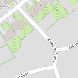
2 Falcon Way
£ 436,000
Description
We don't have a Description for this property.
- Bedrooms
- 4
- Bathrooms
- 0

Leaflet © OpenStreetMap contributors
The heatmap indicates the level of crime in the area. The color of the heatmap indicates the crime severity and recency.
Metrics Year-on-Year
- Average area value
- 449,702.00 £Decreased by 0.87 %
- Average area rental value
- 1,431.00 £/moDecreased by 7.92 %
- Est rental Yield
- 3.82 %Decreased by 7.06 %
- Crime Rate
- 12.00 %Unchanged by 0.00 %
from 453,649.00 £
from 1,554.00 £/mo
from 4.11 %
from 12.00 %
Nearby Schools
| Name | Type | Ofsted | Distance |
|---|---|---|---|
| Boorley Park | Free Schools | 0.43 KM | |
| Hop-A-Long Children'S Centre | Children's Centre Linked Site | 1.39 KM | |
| Botley Church Of England Controlled Primary School | Voluntary Controlled School | Outstanding | 1.47 KM |
| Berrywood Primary School | Community School | Good | 2.09 KM |
| Durley Church Of England Controlled Primary School | Voluntary Controlled School | Outstanding | 2.44 KM |
Images
Nearby Streets
| Name | Average Price | Average Sqft | Distance |
|---|---|---|---|
| The Laurels | £ 0 | 0 | 0.00 KM |
| Pear Tree Close | £ 0 | 0 | 0.00 KM |
| Starling Road | £ 616,000 | 0 | 0.00 KM |
| Pinehurst Cul de sac | £ 261,000 | 0 | 0.00 KM |
| St. David's Cul De Sac | £ 0 | 0 | 0.00 KM |
Nearby Transport
| Name | NLC | TLC | Distance |
|---|---|---|---|
| Hedge End | 5893 | HDE | 2.10 KM |
| Botley | 5894 | BOE | 2.19 KM |
| Bursledon | 5927 | BUO | 5.66 KM |
| Swanwick | 5920 | SNW | 5.72 KM |
| Hamble | 5947 | HME | 8.40 KM |
Nearby Listings
| Address | Price | Type | Score | Distance |
|---|---|---|---|---|
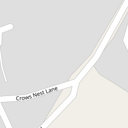
| Crows Nest Lane, Botley, Southampton, SO30 | £ 700,000 | BUY | Unknown | 0.06 KM |
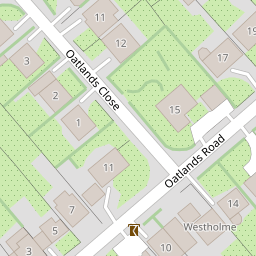
| Oatlands Road, Botley, Southampton | £ 750,000 | BUY | 7 / 10 | 0.12 KM |
| Crows Nest Lane, Botley, Southampton, Hampshire, SO32 | £ 1,300,000 | BUY | 7 / 10 | 0.12 KM |
| Oatlands Road, Botley, SO32 | £ 585,000 | BUY | 7 / 10 | 0.16 KM |
| Winchester Road, Botley | £ 539,000 | BUY | 6 / 10 | 0.26 KM |
Nearby Properties
| Address | Price | Distance |
|---|---|---|
| 6 Falcon Way | £ 725,000 | 0.00 KM |
| 7 Falcon Way | £ 542,000 | 0.00 KM |
| 2 Falcon Way | £ 436,000 | 0.00 KM |
| 10 Falcon Way | £ 590,000 | 0.02 KM |
| 8 Falcon Way | £ 520,000 | 0.02 KM |